Travers Saddle Half Trip.
My girlfriend, Kath, and I decided to do this walk in the October holidays in 2000. It is usually a 5 day walk, but the snow on the pass stopped us on the third day.
Day 1
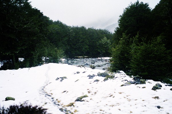
Walk from St Arnaudto the John Tait Hut. A nice amble beside Lake Rotoiti to Lake Head hut. Through open bush and tussock for an hour or so to the swing bridge. Cross the bridge and on to the John Tait hut a few more hours up the track. The snow had been falling slowely for a couple of hours and this was the view from the hut when we got there.
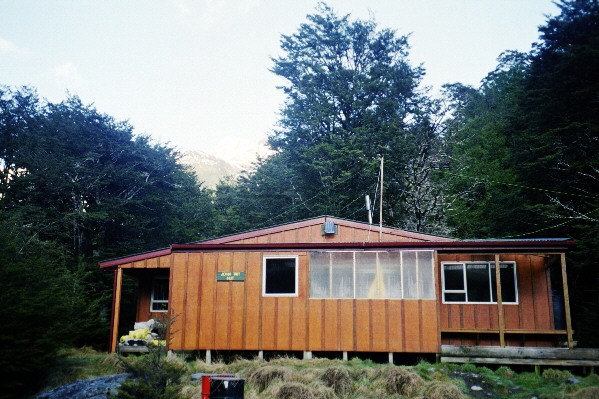
This is the view of the hut without the snow, as we came back 2 days later. The change in the weather had all but removed the snow around the place. Only our snowman was left. John Tait hut is quite large, with 4 large sleeping platforms, a sink and running water. It also has a really good drying room / wet gear room.
Day 2
We decided to stay an extra day here as the snow was falling still and the weather was looking quite shite, and any snow on the pass would have been added too, making it impossible to cross..
Day 3
Thought that we would go and see the Upper Travers hut, only about 3 hours walk uphill. Not a bad stroll apart from the driving wind and snow. A rather miserable walk actually. Tha last 100 or so metres were definatly the worst, as the track zigzags to the hut accross the clearing and a stream also meanders its way accross it. So, not seeing where the track is did not help. This was the view from the hut door when the cloud lifted a bit. Thigh deep snow to the toilet. Brrrrrr! Stayed here the night, with a howling gale shaking the place and having to shelter in the toilet while caught out in a gust.

Day 4
Back to the John Tait hut for another night. It started to clear up during the day and get rather warm. The storm must have left because it cleared during the night, to leave a lovely blue sky. The trip over the pass was blocked with about 2m of snow.
Day 5
 We
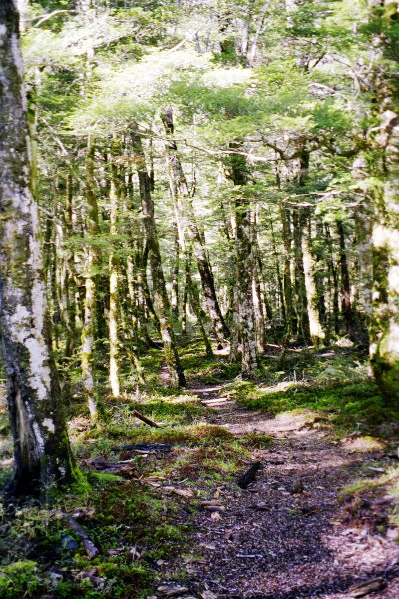
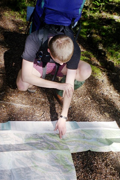
walked out today, and the weather is a hell of a lot better.The left picture
is the beach tree lined track just above the Hopeless Creek swing bridge. This
is pretty typical of the whole walk, except there is no snow currently. The
one on the right is me reading the map to see how far to the next hut. Note
the trendy clothing and gaitors.....
We
walked out today, and the weather is a hell of a lot better.The left picture
is the beach tree lined track just above the Hopeless Creek swing bridge. This
is pretty typical of the whole walk, except there is no snow currently. The
one on the right is me reading the map to see how far to the next hut. Note
the trendy clothing and gaitors.....
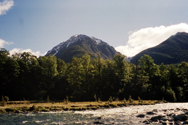
These two pictures show what the day turned out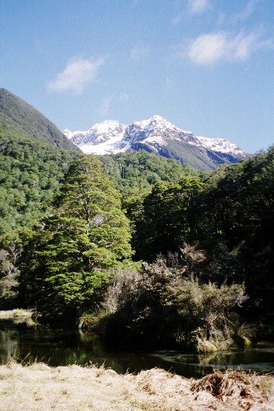 to be. The photo on the left is the Hureke Stream and Shift Creek, leading up
to the Angelus Ridge. The Cascade Track leads up the Hureke Valley with the
Angelus Hut furthur on.. On the right is looking up the valley, with the Arnst
Valley leading off to the left and the TraversValley to the right. The peak
in the middle is Cotterell Peak. Note the Travers river in the foreground, and
the blue sky!
to be. The photo on the left is the Hureke Stream and Shift Creek, leading up
to the Angelus Ridge. The Cascade Track leads up the Hureke Valley with the
Angelus Hut furthur on.. On the right is looking up the valley, with the Arnst
Valley leading off to the left and the TraversValley to the right. The peak
in the middle is Cotterell Peak. Note the Travers river in the foreground, and
the blue sky!
That was the end. Unfortunatly, we didn't do the entire circut. Shit happens.